Ballast Quay Road
Introduction
The photograph on this page of Ballast Quay Road by Trevor Harris as part of the Geograph project.
The Geograph project started in 2005 with the aim of publishing, organising and preserving representative images for every square kilometre of Great Britain, Ireland and the Isle of Man.

There are currently over 7.5m images from over 14,400 individuals and you can help contribute to the project by visiting https://www.geograph.org.uk
Ballast Quay Road
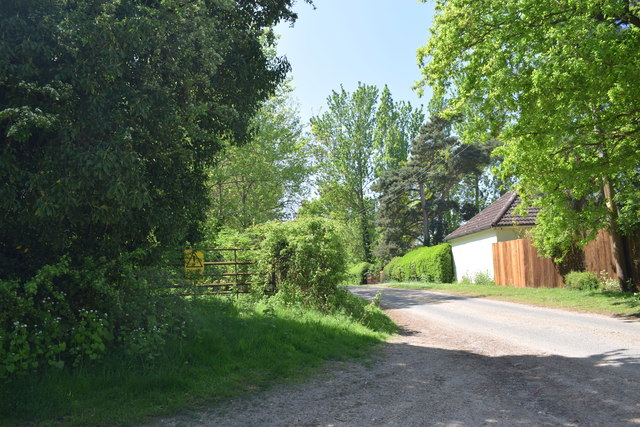
Image: © Trevor Harris Taken: 7 May 2018
Looking back along towards Fingringhoe from the end of the public road by Ballast Quay Farm. On the left is an entrance to one of the former sand and gravel workings which contributed to the name of the road.
Images are licensed for reuse under creativecommons.org/licenses/by-sa/2.0
Image Location
Latitude
51.849279
Longitude
0.961907