Carrington Road
Introduction
The photograph on this page of Carrington Road by Gerald England as part of the Geograph project.
The Geograph project started in 2005 with the aim of publishing, organising and preserving representative images for every square kilometre of Great Britain, Ireland and the Isle of Man.

There are currently over 7.5m images from over 14,400 individuals and you can help contribute to the project by visiting https://www.geograph.org.uk
Carrington Road
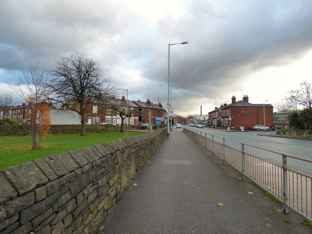
Image: © Gerald England Taken: 23 Nov 2017
The B6104 (formerly A560) out of Stockport. On the left in the former St Paul's churchyard Image is the Portwood War Memorial Image Hanging from the lamppost next to it is some lamppost artwork Image
Images are licensed for reuse under creativecommons.org/licenses/by-sa/2.0
Image Location
Latitude
53.416257
Longitude
-2.144398