South along Cartlett Road, Haverfordwest
Introduction
The photograph on this page of South along Cartlett Road, Haverfordwest by Jaggery as part of the Geograph project.
The Geograph project started in 2005 with the aim of publishing, organising and preserving representative images for every square kilometre of Great Britain, Ireland and the Isle of Man.

There are currently over 7.5m images from over 14,400 individuals and you can help contribute to the project by visiting https://www.geograph.org.uk
South along Cartlett Road, Haverfordwest
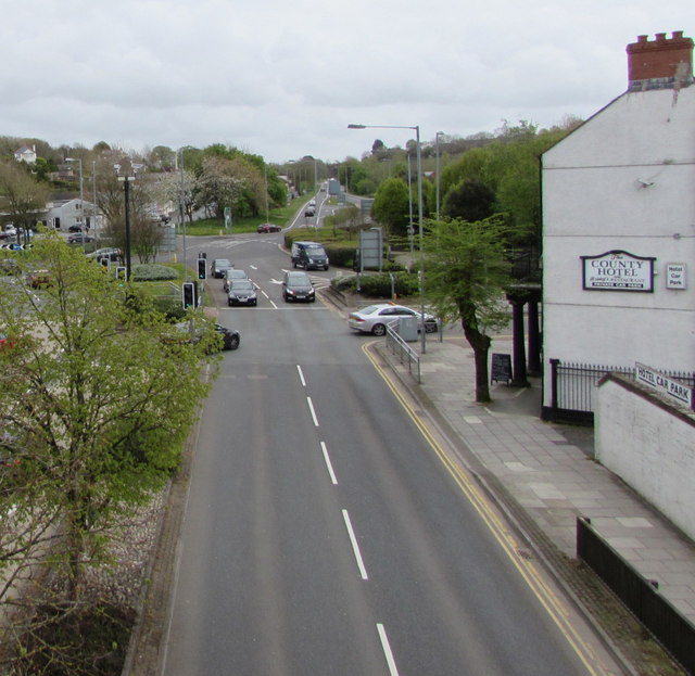
Image: © Jaggery Taken: 3 May 2018
The northbound carriageway of the A487 Cartlett Road viewed from a footbridge. http://www.geograph.org.uk/photo/5762799 The County hotel & restaurant https://www.geograph.org.uk/photo/5767472 is on the right.
Images are licensed for reuse under creativecommons.org/licenses/by-sa/2.0
Image Location
Latitude
51.802499
Longitude
-4.965417