Bench Mark, Newry
Introduction
The photograph on this page of Bench Mark, Newry by Rossographer as part of the Geograph project.
The Geograph project started in 2005 with the aim of publishing, organising and preserving representative images for every square kilometre of Great Britain, Ireland and the Isle of Man.

There are currently over 7.5m images from over 14,400 individuals and you can help contribute to the project by visiting https://www.geograph.org.uk
Bench Mark, Newry
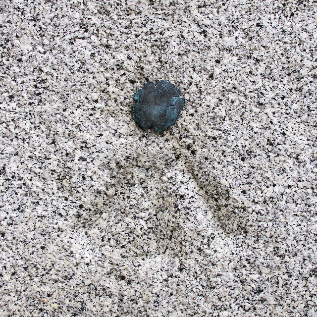
Image: © Rossographer Taken: 19 Apr 2018
Bolt bench mark on the northern wall of Newry Cathedral Image It consists of a cut mark with a copper bolt driven into the wall and dates from the 1st geodetic levelling of Ireland which took place in 1839-43. The original remarks describe it as a "Newry New R.C Chapel in Hill Street. Copper bolt driven into wall at West end; 3.4 feet above centre of road" and it was originally levelled to 23.747 feet above sea level.
Images are licensed for reuse under creativecommons.org/licenses/by-sa/2.0
Image Location
Latitude
54.174702
Longitude
-6.337889