Bremridge
Introduction
The photograph on this page of Bremridge by Derek Harper as part of the Geograph project.
The Geograph project started in 2005 with the aim of publishing, organising and preserving representative images for every square kilometre of Great Britain, Ireland and the Isle of Man.

There are currently over 7.5m images from over 14,400 individuals and you can help contribute to the project by visiting https://www.geograph.org.uk
Bremridge
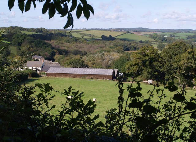
Image: © Derek Harper Taken: 4 Oct 2007
The farm at Bremridge seen from beside the lane from Hatherleigh, and across the field shown in Image The buildings visible above the farmhouse are at East Totleigh; Allers Copse, the woodland beyond that, is in Image and Image
Images are licensed for reuse under creativecommons.org/licenses/by-sa/2.0
Image Location


Leaflet Map data © OpenStreetMap
Latitude
50.833979
Longitude
-4.110187