Stivichall Croft
Introduction
The photograph on this page of Stivichall Croft by E Gammie as part of the Geograph project.
The Geograph project started in 2005 with the aim of publishing, organising and preserving representative images for every square kilometre of Great Britain, Ireland and the Isle of Man.

There are currently over 7.5m images from over 14,400 individuals and you can help contribute to the project by visiting https://www.geograph.org.uk
Stivichall Croft
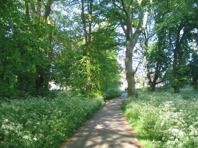
Image: © E Gammie Taken: 7 May 2018
A small area of wooded open space near the junction of Stivichall Croft with Baginton Road. May Day bank holiday and the whole weekend has been sunny and warm!
Images are licensed for reuse under creativecommons.org/licenses/by-sa/2.0
Image Location
Latitude
52.387354
Longitude
-1.52022