Fforddlas, Prestatyn and an Edward VII postbox
Introduction
The photograph on this page of Fforddlas, Prestatyn and an Edward VII postbox by John S Turner as part of the Geograph project.
The Geograph project started in 2005 with the aim of publishing, organising and preserving representative images for every square kilometre of Great Britain, Ireland and the Isle of Man.

There are currently over 7.5m images from over 14,400 individuals and you can help contribute to the project by visiting https://www.geograph.org.uk
Fforddlas, Prestatyn and an Edward VII postbox
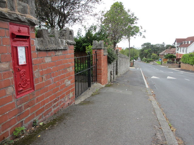
Image: © John S Turner Taken: 28 Aug 2012
Looking along Fforddlas, Prestatyn, which is also part of the Offa's Dyke Long Distance Path. There is an Edward VII post-box set into a brick wall on the left, and opposite Pendle Avenue - Image Also there is an Ordnance Survey bench mark cut into the wall below the post-box - Image
Images are licensed for reuse under creativecommons.org/licenses/by-sa/2.0
Image Location
Latitude
53.329434
Longitude
-3.396088