St Moluag's Chapel
Introduction
The photograph on this page of St Moluag's Chapel by Anne Burgess as part of the Geograph project.
The Geograph project started in 2005 with the aim of publishing, organising and preserving representative images for every square kilometre of Great Britain, Ireland and the Isle of Man.

There are currently over 7.5m images from over 14,400 individuals and you can help contribute to the project by visiting https://www.geograph.org.uk
St Moluag's Chapel
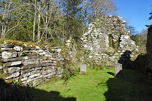
Image: © Anne Burgess Taken: 29 Apr 2018
The interior of the 13th century chapel, which was already ruinous in 1773, but still in use for burials. See https://canmore.org.uk/site/11466/skye-raasay-st-maol-luags-chapel
Images are licensed for reuse under creativecommons.org/licenses/by-sa/2.0
Image Location
Latitude
57.353971
Longitude
-6.07759