Aldersgate Street and Long Lane
Introduction
The photograph on this page of Aldersgate Street and Long Lane by Rich Tea as part of the Geograph project.
The Geograph project started in 2005 with the aim of publishing, organising and preserving representative images for every square kilometre of Great Britain, Ireland and the Isle of Man.

There are currently over 7.5m images from over 14,400 individuals and you can help contribute to the project by visiting https://www.geograph.org.uk
Aldersgate Street and Long Lane
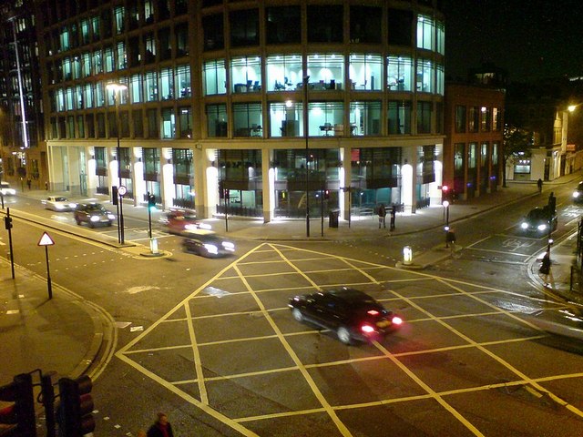
Image: © Rich Tea Taken: 3 Oct 2007
Looking down from the high-level walkway from the Barbican (behind the photographer) to the Barbican underground station (just out of shot to the right). Aldersgate Street on the left and Long Lane top right.
Images are licensed for reuse under creativecommons.org/licenses/by-sa/2.0
Image Location
Latitude
51.519862
Longitude
-0.097578