Old railway route north-west of Shotton Colliery
Introduction
The photograph on this page of Old railway route north-west of Shotton Colliery by Trevor Littlewood as part of the Geograph project.
The Geograph project started in 2005 with the aim of publishing, organising and preserving representative images for every square kilometre of Great Britain, Ireland and the Isle of Man.

There are currently over 7.5m images from over 14,400 individuals and you can help contribute to the project by visiting https://www.geograph.org.uk
Old railway route north-west of Shotton Colliery
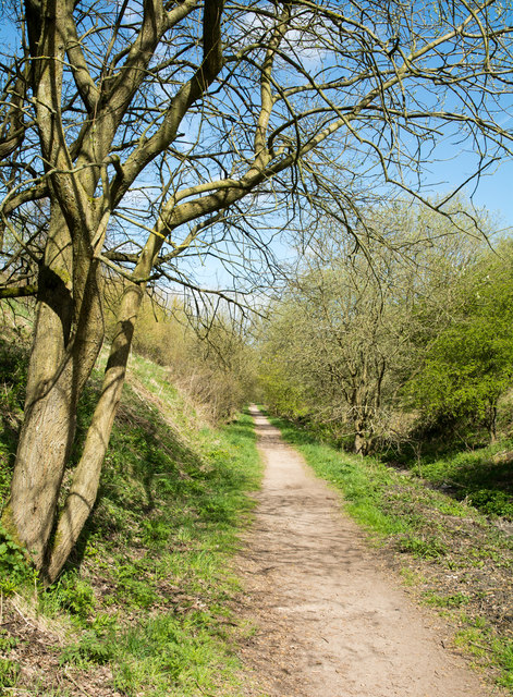
Image: © Trevor Littlewood Taken: 3 May 2018
The old rail route is now the Haswell to Hart walkway or cycleway - both terms are used. Additionally, OS maps record the way as the Haswell to Hart Countryside Walkway.
Images are licensed for reuse under creativecommons.org/licenses/by-sa/2.0
Image Location
Latitude
54.767376
Longitude
-1.396608