Low walling beside Haswell to Hart route
Introduction
The photograph on this page of Low walling beside Haswell to Hart route by Trevor Littlewood as part of the Geograph project.
The Geograph project started in 2005 with the aim of publishing, organising and preserving representative images for every square kilometre of Great Britain, Ireland and the Isle of Man.

There are currently over 7.5m images from over 14,400 individuals and you can help contribute to the project by visiting https://www.geograph.org.uk
Low walling beside Haswell to Hart route
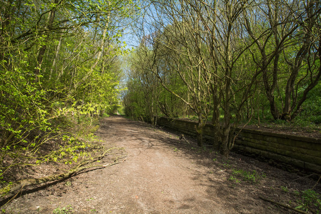
Image: © Trevor Littlewood Taken: 3 May 2018
The Haswell to Hart cycle and walking route now follows the route of the old railway seen here. The low wall has the appearance of a railway platform and there's a ramp, typical of those at the end of platforms at its far end. Also, the location is just north of the road bridge carrying Station Road.
Images are licensed for reuse under creativecommons.org/licenses/by-sa/2.0
Image Location
Latitude
54.765207
Longitude
-1.394153