North Greenwich riverside developments
Introduction
The photograph on this page of North Greenwich riverside developments by Stephen Craven as part of the Geograph project.
The Geograph project started in 2005 with the aim of publishing, organising and preserving representative images for every square kilometre of Great Britain, Ireland and the Isle of Man.

There are currently over 7.5m images from over 14,400 individuals and you can help contribute to the project by visiting https://www.geograph.org.uk
North Greenwich riverside developments
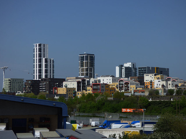
Image: © Stephen Craven Taken: 22 Apr 2018
Several high-rise blocks on the east side of the peninsula, viewed from the A102 footbridge about 900 metres to the south.
Images are licensed for reuse under creativecommons.org/licenses/by-sa/2.0
Image Location
Latitude
51.497902
Longitude
0.011292