Junction A60 Mansfield Road and Ricket Lane
Introduction
The photograph on this page of Junction A60 Mansfield Road and Ricket Lane by Tom Courtney as part of the Geograph project.
The Geograph project started in 2005 with the aim of publishing, organising and preserving representative images for every square kilometre of Great Britain, Ireland and the Isle of Man.

There are currently over 7.5m images from over 14,400 individuals and you can help contribute to the project by visiting https://www.geograph.org.uk
Junction A60 Mansfield Road and Ricket Lane
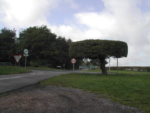
Image: © Tom Courtney Taken: 25 Sep 2005
Someone cares about the tree on the right; it's kept very neat and tidy. The tree, which is a hawthorn, is known as "The Table Top Tree" and it was well established as far back as 1958.
Images are licensed for reuse under creativecommons.org/licenses/by-sa/2.0
Image Location


Leaflet Map data © OpenStreetMap
Latitude
53.09567
Longitude
-1.178614