Risca East Community Council noticeboard in Pontymister
Introduction
The photograph on this page of Risca East Community Council noticeboard in Pontymister by Jaggery as part of the Geograph project.
The Geograph project started in 2005 with the aim of publishing, organising and preserving representative images for every square kilometre of Great Britain, Ireland and the Isle of Man.

There are currently over 7.5m images from over 14,400 individuals and you can help contribute to the project by visiting https://www.geograph.org.uk
Risca East Community Council noticeboard in Pontymister
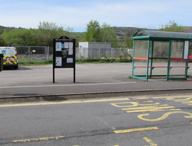
Image: © Jaggery Taken: 30 Apr 2018
Located near a Herbert Avenue bus stop and shelter viewed in April 2018. The noticeboard is not in this http://www.geograph.org.uk/photo/1749111 March 2010 photo of the same location.
Images are licensed for reuse under creativecommons.org/licenses/by-sa/2.0
Image Location
Latitude
51.602536
Longitude
-3.077662