Spring by Leylands Road
Introduction
The photograph on this page of Spring by Leylands Road by Colin Smith as part of the Geograph project.
The Geograph project started in 2005 with the aim of publishing, organising and preserving representative images for every square kilometre of Great Britain, Ireland and the Isle of Man.

There are currently over 7.5m images from over 14,400 individuals and you can help contribute to the project by visiting https://www.geograph.org.uk
Spring by Leylands Road
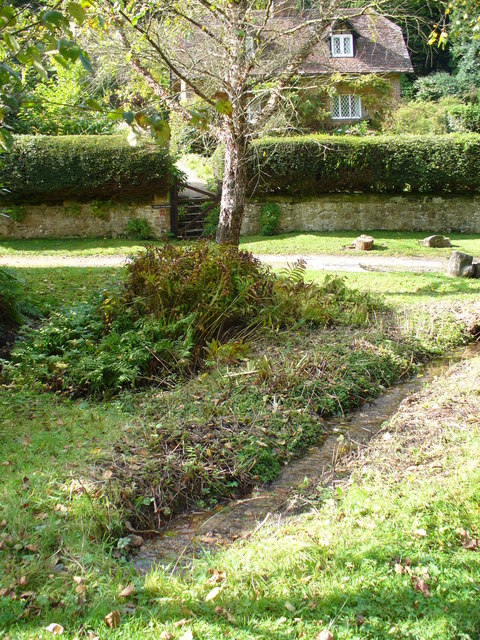
Image: © Colin Smith Taken: 5 Oct 2007
Spring line on the northern slopes of Leith hill where a headwater of the Tilling Bourne emerges.
Images are licensed for reuse under creativecommons.org/licenses/by-sa/2.0
Image Location
Latitude
51.18385
Longitude
-0.388178