Village Green, Barrowden
Introduction
The photograph on this page of Village Green, Barrowden by Tim Heaton as part of the Geograph project.
The Geograph project started in 2005 with the aim of publishing, organising and preserving representative images for every square kilometre of Great Britain, Ireland and the Isle of Man.

There are currently over 7.5m images from over 14,400 individuals and you can help contribute to the project by visiting https://www.geograph.org.uk
Village Green, Barrowden
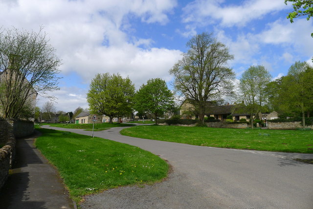
Image: © Tim Heaton Taken: 25 Apr 2018
Previous names for the village (from http://www.british-history.ac.uk/vch/rutland/vol2/pp170-175): Berchedon (11th cent.); Bergeduna, Bergendona, Bereweydun 12th cent.); Berewedone, Berwedon, Berudon (13th cent.); Beroughden, Bergdon, Berughdon (14th cent.); Barowdon, Barowghdon (15th cent.); Baroughden, Barrowdon (xvi cent.).
Images are licensed for reuse under creativecommons.org/licenses/by-sa/2.0
Image Location
Latitude
52.590273
Longitude
-0.602789