Pengam & Fleur-de-Lis War Memorial
Introduction
The photograph on this page of Pengam & Fleur-de-Lis War Memorial by Jaggery as part of the Geograph project.
The Geograph project started in 2005 with the aim of publishing, organising and preserving representative images for every square kilometre of Great Britain, Ireland and the Isle of Man.

There are currently over 7.5m images from over 14,400 individuals and you can help contribute to the project by visiting https://www.geograph.org.uk
Pengam & Fleur-de-Lis War Memorial
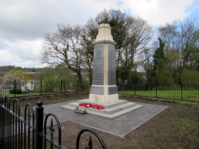
Image: © Jaggery Taken: 26 Apr 2018
The design of the Grade II listed War Memorial on the north side of St David's Road was influenced by Lutyens' Cenotaph https://www.geograph.org.uk/photo/3176066 in Whitehall, Westminster.
Images are licensed for reuse under creativecommons.org/licenses/by-sa/2.0
Image Location
Latitude
51.66603
Longitude
-3.223184