Solid Foundations
Introduction
The photograph on this page of Solid Foundations by John Winfield as part of the Geograph project.
The Geograph project started in 2005 with the aim of publishing, organising and preserving representative images for every square kilometre of Great Britain, Ireland and the Isle of Man.

There are currently over 7.5m images from over 14,400 individuals and you can help contribute to the project by visiting https://www.geograph.org.uk
Solid Foundations
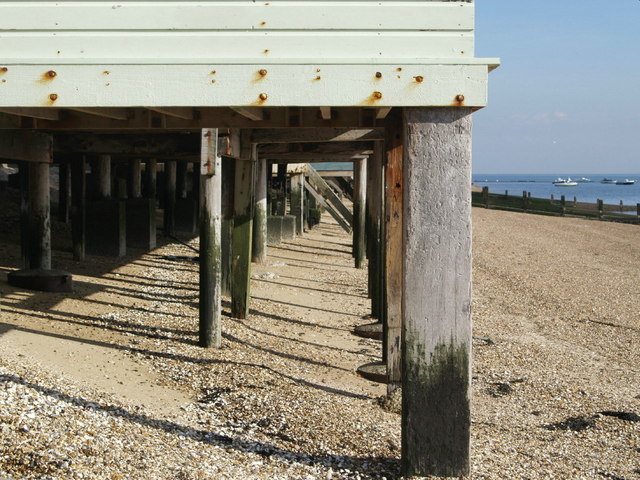
Image: © John Winfield Taken: 4 Oct 2007
Although these look more like the wooden piles used for piers, they are in fact the support for beach huts at Shoebury.
Images are licensed for reuse under creativecommons.org/licenses/by-sa/2.0
Image Location


Leaflet Map data © OpenStreetMap
Latitude
51.52501
Longitude
0.768364