Footpath to Wollescote
Introduction
The photograph on this page of Footpath to Wollescote by Stephen McKay as part of the Geograph project.
The Geograph project started in 2005 with the aim of publishing, organising and preserving representative images for every square kilometre of Great Britain, Ireland and the Isle of Man.

There are currently over 7.5m images from over 14,400 individuals and you can help contribute to the project by visiting https://www.geograph.org.uk
Footpath to Wollescote
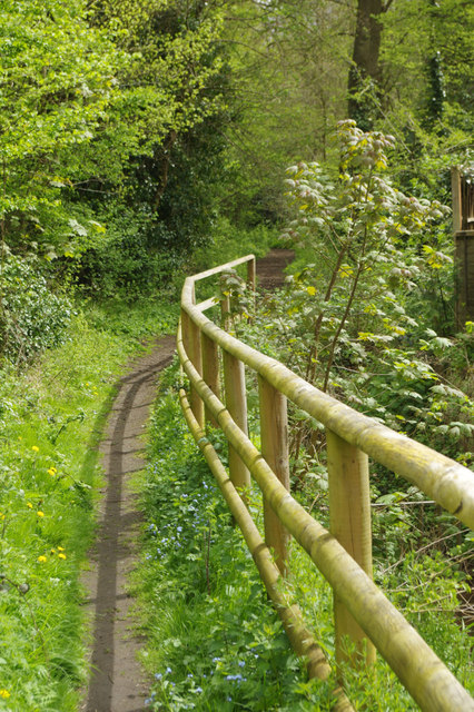
Image: © Stephen McKay Taken: 25 Apr 2018
The public footpath sign (out of shot) indicates that this leads to Wollescote (one mile). Most people probably prefer to use it for a pleasant stroll through Ham Dingle.
Images are licensed for reuse under creativecommons.org/licenses/by-sa/2.0
Image Location
Latitude
52.443184
Longitude
-2.130009