Aish Lodge
Introduction
The photograph on this page of Aish Lodge by Derek Harper as part of the Geograph project.
The Geograph project started in 2005 with the aim of publishing, organising and preserving representative images for every square kilometre of Great Britain, Ireland and the Isle of Man.

There are currently over 7.5m images from over 14,400 individuals and you can help contribute to the project by visiting https://www.geograph.org.uk
Aish Lodge
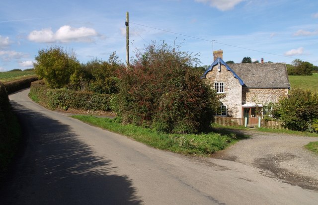
Image: © Derek Harper Taken: 4 Oct 2007
Other local placenames are spelt "Ash", but this little lodge, at a junction between the lane from Friar's Hele Cross to Petrockstowe and a farm track on the fringe of Ash Moor, is an exception.
Images are licensed for reuse under creativecommons.org/licenses/by-sa/2.0
Image Location


Leaflet Map data © OpenStreetMap
Latitude
50.852376
Longitude
-4.102493