Waggon Place, Southmoor, Oxon
Introduction
The photograph on this page of Waggon Place, Southmoor, Oxon by P L Chadwick as part of the Geograph project.
The Geograph project started in 2005 with the aim of publishing, organising and preserving representative images for every square kilometre of Great Britain, Ireland and the Isle of Man.

There are currently over 7.5m images from over 14,400 individuals and you can help contribute to the project by visiting https://www.geograph.org.uk
Waggon Place, Southmoor, Oxon
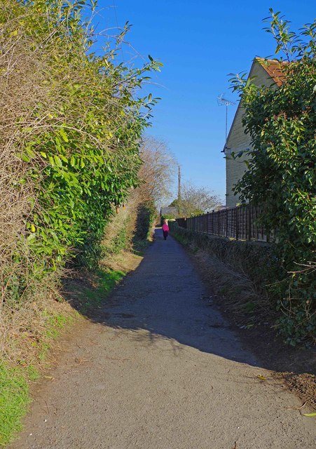
Image: © P L Chadwick Taken: 25 Feb 2018
Presumably named after the nearby Waggon & Horses public house. Waggon Place starts as a lane off Faringdon Road, but after a short distance it turns into a public footpath. Eventually it reaches the bypass, which is part of the A420 road. At that point there is an option to cross the bypass over a footbridge and continue to Harris's Lane.
Images are licensed for reuse under creativecommons.org/licenses/by-sa/2.0
Image Location
Latitude
51.68009
Longitude
-1.427785