Retford Road, Handsworth
Introduction
The photograph on this page of Retford Road, Handsworth by David Morris as part of the Geograph project.
The Geograph project started in 2005 with the aim of publishing, organising and preserving representative images for every square kilometre of Great Britain, Ireland and the Isle of Man.

There are currently over 7.5m images from over 14,400 individuals and you can help contribute to the project by visiting https://www.geograph.org.uk
Retford Road, Handsworth
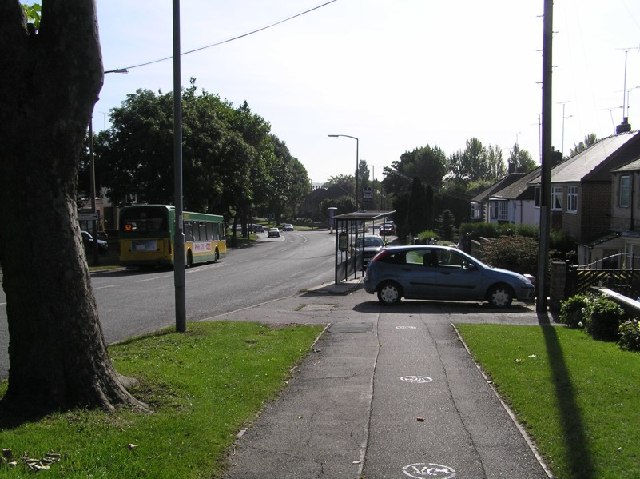
Image: © David Morris Taken: 24 Sep 2005
The view down Retford Road, Handsworth. Formerly known as the A57 (now B6200) prior to completion of the bypass which now skirts Mosborough and Beighton before meeting up with the M1 at Junction 31, this road is still heavily used as one of the main arterial roads into Sheffield from Woodhouse, Aston and Worksop. Just down the road on this south-east view, the road splits right to head off to Woodhouse. The photo is taken close to the (apparent) location of a milepost showing 5 miles to Sheffield and 13 to Worksop (according to the 1905 maps).
Images are licensed for reuse under creativecommons.org/licenses/by-sa/2.0
Image Location
Latitude
53.373736
Longitude
-1.377695