Newburgh Crescent, The Cape, Warwick
Introduction
The photograph on this page of Newburgh Crescent, The Cape, Warwick by Robin Stott as part of the Geograph project.
The Geograph project started in 2005 with the aim of publishing, organising and preserving representative images for every square kilometre of Great Britain, Ireland and the Isle of Man.

There are currently over 7.5m images from over 14,400 individuals and you can help contribute to the project by visiting https://www.geograph.org.uk
Newburgh Crescent, The Cape, Warwick
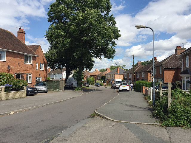
Image: © Robin Stott Taken: 30 Jul 2017
These houses, along with those in Deerpark Drive, Wedgnock Green and Oken Road, appear on an OS map of 1925. The estate would be the first 20th-century residential development in the Cape area. Deerpark Drive curves off immediately past the trees. To the right of the camera are some lock-up garages.
Images are licensed for reuse under creativecommons.org/licenses/by-sa/2.0
Image Location
Latitude
52.287826
Longitude
-1.590199