Doune Ponds
Introduction
The photograph on this page of Doune Ponds by Richard Webb as part of the Geograph project.
The Geograph project started in 2005 with the aim of publishing, organising and preserving representative images for every square kilometre of Great Britain, Ireland and the Isle of Man.

There are currently over 7.5m images from over 14,400 individuals and you can help contribute to the project by visiting https://www.geograph.org.uk
Doune Ponds
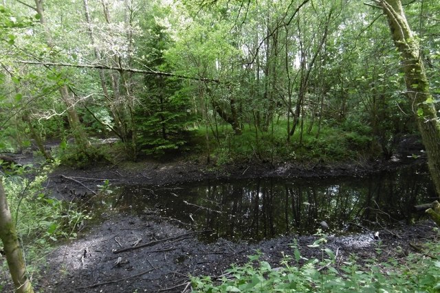
Image: © Richard Webb Taken: 7 Jun 2017
Former sand quarry, now wooded and partly flooded. There is a good path network.
Images are licensed for reuse under creativecommons.org/licenses/by-sa/2.0
Image Location


Leaflet Map data © OpenStreetMap
Latitude
56.192404
Longitude
-4.05656