Linton Village Hall
Introduction
The photograph on this page of Linton Village Hall by M H Evans as part of the Geograph project.
The Geograph project started in 2005 with the aim of publishing, organising and preserving representative images for every square kilometre of Great Britain, Ireland and the Isle of Man.

There are currently over 7.5m images from over 14,400 individuals and you can help contribute to the project by visiting https://www.geograph.org.uk
Linton Village Hall
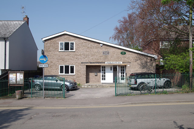
Image: © M H Evans Taken: 20 Apr 2018
This building, on the west side of Coles Lane, is used for children's play groups, social occasions, meetings and also serves as a voting station during local and national elections. It also houses some offices of the Parish Council.
Images are licensed for reuse under creativecommons.org/licenses/by-sa/2.0
Image Location


Leaflet Map data © OpenStreetMap
Latitude
52.098473
Longitude
0.279402