Track south of Selston (1)
Introduction
The photograph on this page of Track south of Selston (1) by Richard Vince as part of the Geograph project.
The Geograph project started in 2005 with the aim of publishing, organising and preserving representative images for every square kilometre of Great Britain, Ireland and the Isle of Man.

There are currently over 7.5m images from over 14,400 individuals and you can help contribute to the project by visiting https://www.geograph.org.uk
Track south of Selston (1)
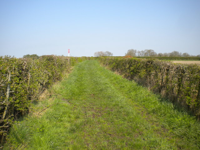
Image: © Richard Vince Taken: 21 Apr 2018
Also home to a public footpath. The post on the left marks the point at which a gas pipeline passes beneath the track.
Images are licensed for reuse under creativecommons.org/licenses/by-sa/2.0
Image Location
Latitude
53.065515
Longitude
-1.314243