Derelict Industrial Building
Introduction
The photograph on this page of Derelict Industrial Building by Tony Atkin as part of the Geograph project.
The Geograph project started in 2005 with the aim of publishing, organising and preserving representative images for every square kilometre of Great Britain, Ireland and the Isle of Man.

There are currently over 7.5m images from over 14,400 individuals and you can help contribute to the project by visiting https://www.geograph.org.uk
Derelict Industrial Building
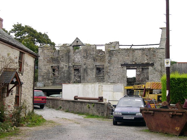
Image: © Tony Atkin Taken: 24 Sep 2005
Looking at the building itself gives little clue as to its purpose, however with the road from the north being called "Mill Lane", a bridleway from the west called "Old Mill Land" and the cottage to the left of the picture called "Mill Cottage", It is probably safe to say that this was some sort of Mill.
Images are licensed for reuse under creativecommons.org/licenses/by-sa/2.0
Image Location


Leaflet Map data © OpenStreetMap
Latitude
50.199944
Longitude
-5.319532