Packet House
Introduction
The photograph on this page of Packet House by Bill Boaden as part of the Geograph project.
The Geograph project started in 2005 with the aim of publishing, organising and preserving representative images for every square kilometre of Great Britain, Ireland and the Isle of Man.

There are currently over 7.5m images from over 14,400 individuals and you can help contribute to the project by visiting https://www.geograph.org.uk
Packet House
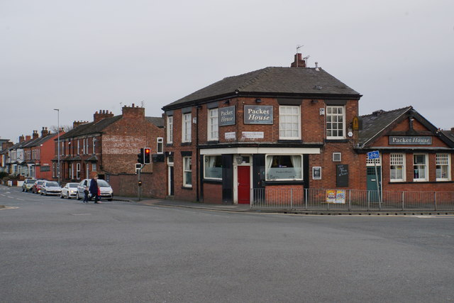
Image: © Bill Boaden Taken: 5 Apr 2018
A pub in a prominent position on the corner of Liverpool Road and Barton Road. It has a traditional appearance but does not sell real ale.
Images are licensed for reuse under creativecommons.org/licenses/by-sa/2.0
Image Location
Latitude
53.480429
Longitude
-2.359941