Frimley Green
Introduction
The photograph on this page of Frimley Green by Nigel Cox as part of the Geograph project.
The Geograph project started in 2005 with the aim of publishing, organising and preserving representative images for every square kilometre of Great Britain, Ireland and the Isle of Man.

There are currently over 7.5m images from over 14,400 individuals and you can help contribute to the project by visiting https://www.geograph.org.uk
Frimley Green
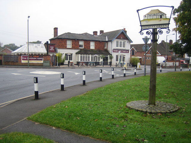
Image: © Nigel Cox Taken: 2 Oct 2007
Frimley Green's village sign features the Bedford Farm Barn, a Grade II listed building in The Hatches that dates from around 1500. Beyond the B3411 Sturt Road is the Rose and Thistle public house.
Images are licensed for reuse under creativecommons.org/licenses/by-sa/2.0
Image Location
Latitude
51.301607
Longitude
-0.727618