Clarendon Road
Introduction
The photograph on this page of Clarendon Road by Ian Capper as part of the Geograph project.
The Geograph project started in 2005 with the aim of publishing, organising and preserving representative images for every square kilometre of Great Britain, Ireland and the Isle of Man.

There are currently over 7.5m images from over 14,400 individuals and you can help contribute to the project by visiting https://www.geograph.org.uk
Clarendon Road
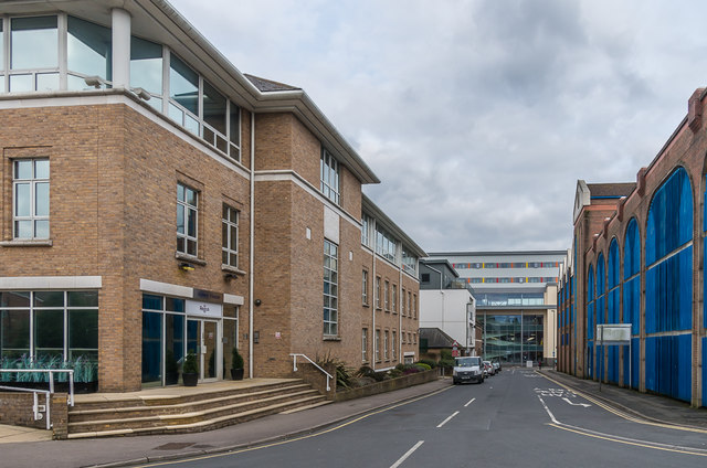
Image: © Ian Capper Taken: 1 Apr 2018
A section of Clarendon Road leading to London Road. On the left is Abbey House, on the right Clarendon Road car park and in the background part of the Warwick Quadrant redevelopment. Compare Image from 2014, before the redevelopment of the Warwick Quadrant, with part of Lombard House in the background instead.
Images are licensed for reuse under creativecommons.org/licenses/by-sa/2.0
Image Location
Latitude
51.242009
Longitude
-0.16835