'Road' above Bouthwaite.
Introduction
The photograph on this page of 'Road' above Bouthwaite. by Gordon Hatton as part of the Geograph project.
The Geograph project started in 2005 with the aim of publishing, organising and preserving representative images for every square kilometre of Great Britain, Ireland and the Isle of Man.

There are currently over 7.5m images from over 14,400 individuals and you can help contribute to the project by visiting https://www.geograph.org.uk
'Road' above Bouthwaite.
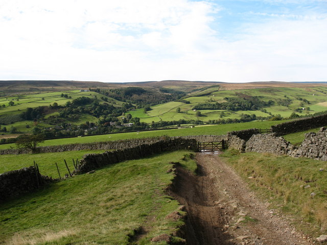
Image: © Gordon Hatton Taken: 30 Sep 2007
This rough track is classed as a county road and leads over the moor from Bouthwaite towards Kirkby Malzeard. Originally part of a monastic route from Craven and Nidderdale to Fountains Abbey, and here passing through the parish of Fountains Earth.
Images are licensed for reuse under creativecommons.org/licenses/by-sa/2.0
Image Location
Latitude
54.138283
Longitude
-1.805426