Road near Higher Cardeast
Introduction
The photograph on this page of Road near Higher Cardeast by Derek Harper as part of the Geograph project.
The Geograph project started in 2005 with the aim of publishing, organising and preserving representative images for every square kilometre of Great Britain, Ireland and the Isle of Man.

There are currently over 7.5m images from over 14,400 individuals and you can help contribute to the project by visiting https://www.geograph.org.uk
Road near Higher Cardeast
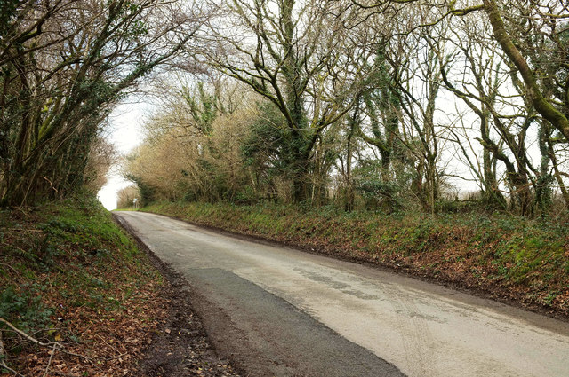
Image: © Derek Harper Taken: 2 Feb 2018
The road from Cardinham to Cardinham Downs climbs steadily from the Cardinham Water valley. You might make out a road junction on the left about 110 metres away, where the road past Bodmin Airfield forks right. The wooded sides of the road are mapped as access land.
Images are licensed for reuse under creativecommons.org/licenses/by-sa/2.0
Image Location
Latitude
50.488968
Longitude
-4.658867