River Don
Introduction
The photograph on this page of River Don by Anne Burgess as part of the Geograph project.
The Geograph project started in 2005 with the aim of publishing, organising and preserving representative images for every square kilometre of Great Britain, Ireland and the Isle of Man.

There are currently over 7.5m images from over 14,400 individuals and you can help contribute to the project by visiting https://www.geograph.org.uk
River Don
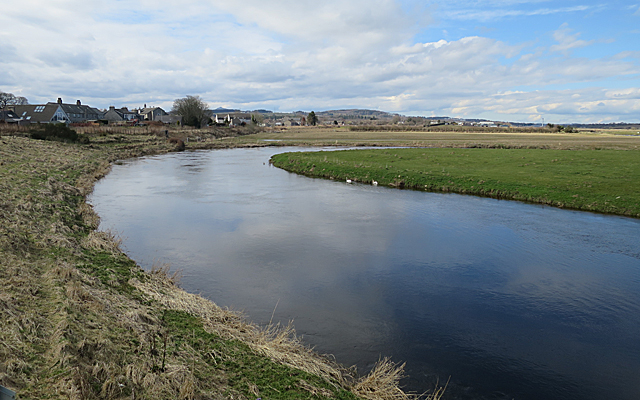
Image: © Anne Burgess Taken: 9 Apr 2018
The River Don meanders through its floodplain. This is a meander close to the village of Kintore, but separated from the village by the railway. The map names this reach of the river as Burnmouth Pot.
Images are licensed for reuse under creativecommons.org/licenses/by-sa/2.0
Image Location
Latitude
57.236324
Longitude
-2.34075