Wallasey Town Hall from the Mersey Ferry
Introduction
The photograph on this page of Wallasey Town Hall from the Mersey Ferry by Jonathan Hutchins as part of the Geograph project.
The Geograph project started in 2005 with the aim of publishing, organising and preserving representative images for every square kilometre of Great Britain, Ireland and the Isle of Man.

There are currently over 7.5m images from over 14,400 individuals and you can help contribute to the project by visiting https://www.geograph.org.uk
Wallasey Town Hall from the Mersey Ferry
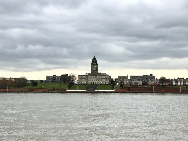
Image: © Jonathan Hutchins Taken: 1 Apr 2018
The prominent town hall of 1914-20 is Grade II listed, see https://www.historicengland.org.uk/listing/the-list/list-entry/1258467
Images are licensed for reuse under creativecommons.org/licenses/by-sa/2.0
Image Location
Latitude
53.415826
Longitude
-3.023059