Building site, Blackhouse Hill
Introduction
The photograph on this page of Building site, Blackhouse Hill by John Baker as part of the Geograph project.
The Geograph project started in 2005 with the aim of publishing, organising and preserving representative images for every square kilometre of Great Britain, Ireland and the Isle of Man.

There are currently over 7.5m images from over 14,400 individuals and you can help contribute to the project by visiting https://www.geograph.org.uk
Building site, Blackhouse Hill
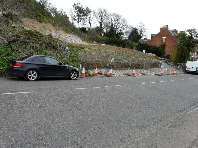
Image: © John Baker Taken: 25 Mar 2018
Planning permission has been approved, with conditions, by Folkestone and Hythe District Council under application number Y14/0474/SH for the “erection of a terrace of four houses with integral garages, including four storey turret and two floors of accommodation within roof”, The site is located on land adjoining number 26 - the house just beyond the site.
Images are licensed for reuse under creativecommons.org/licenses/by-sa/2.0
Image Location
Latitude
51.075884
Longitude
1.093127