The valley of Dunkirk Beck (Leeshaw Water), Oxenhope
Introduction
The photograph on this page of The valley of Dunkirk Beck (Leeshaw Water), Oxenhope by Humphrey Bolton as part of the Geograph project.
The Geograph project started in 2005 with the aim of publishing, organising and preserving representative images for every square kilometre of Great Britain, Ireland and the Isle of Man.

There are currently over 7.5m images from over 14,400 individuals and you can help contribute to the project by visiting https://www.geograph.org.uk
The valley of Dunkirk Beck (Leeshaw Water), Oxenhope
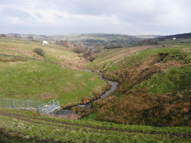
Image: © Humphrey Bolton Taken: 30 Mar 2018
The old name of Leeshaw Water perhaps only now refers to the stream above the reservoir. A public footpath goes down to Dunkirk Mill on the left (north) side of the stream.
Images are licensed for reuse under creativecommons.org/licenses/by-sa/2.0
Image Location
Latitude
53.812993
Longitude
-1.9746