Former Oakdale Public House (2), Oakdale
Introduction
The photograph on this page of Former Oakdale Public House (2), Oakdale by M J Roscoe as part of the Geograph project.
The Geograph project started in 2005 with the aim of publishing, organising and preserving representative images for every square kilometre of Great Britain, Ireland and the Isle of Man.

There are currently over 7.5m images from over 14,400 individuals and you can help contribute to the project by visiting https://www.geograph.org.uk
Former Oakdale Public House (2), Oakdale
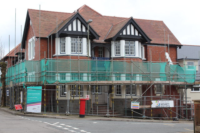
Image: © M J Roscoe Taken: 8 Apr 2018
Side view of partly renovated, formerly derelict, pub to nine apartments of this grade II listed pub. For the front on the same day see Image and a year ago, see Image On the right is part of one of the three terraced houses under construction in the former yard of the pub.
Images are licensed for reuse under creativecommons.org/licenses/by-sa/2.0
Image Location
Latitude
51.678265
Longitude
-3.178533