Heswall Shore
Introduction
The photograph on this page of Heswall Shore by Stephen McKay as part of the Geograph project.
The Geograph project started in 2005 with the aim of publishing, organising and preserving representative images for every square kilometre of Great Britain, Ireland and the Isle of Man.

There are currently over 7.5m images from over 14,400 individuals and you can help contribute to the project by visiting https://www.geograph.org.uk
Heswall Shore
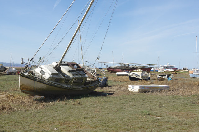
Image: © Stephen McKay Taken: 5 Apr 2018
Despite the appearance of being dumped in a field, these boats are in fact on marshland at the edge of the Dee estuary. Until the 1980s there was sand here flooded by the tide and historically Heswall was a fishing village. Over the years it has become silted up and the boats are going nowhere.
Images are licensed for reuse under creativecommons.org/licenses/by-sa/2.0
Image Location
Latitude
53.324682
Longitude
-3.122522