Derelict farm building, Church Lane
Introduction
The photograph on this page of Derelict farm building, Church Lane by John Baker as part of the Geograph project.
The Geograph project started in 2005 with the aim of publishing, organising and preserving representative images for every square kilometre of Great Britain, Ireland and the Isle of Man.

There are currently over 7.5m images from over 14,400 individuals and you can help contribute to the project by visiting https://www.geograph.org.uk
Derelict farm building, Church Lane
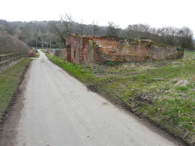
Image: © John Baker Taken: 25 Mar 2018
A similar image of the Image This image of this Image shows how much it has deteriorated over the years.
Images are licensed for reuse under creativecommons.org/licenses/by-sa/2.0
Image Location
Latitude
51.189171
Longitude
1.033152