Parkland below Thorngrove
Introduction
The photograph on this page of Parkland below Thorngrove by Philip Halling as part of the Geograph project.
The Geograph project started in 2005 with the aim of publishing, organising and preserving representative images for every square kilometre of Great Britain, Ireland and the Isle of Man.

There are currently over 7.5m images from over 14,400 individuals and you can help contribute to the project by visiting https://www.geograph.org.uk
Parkland below Thorngrove
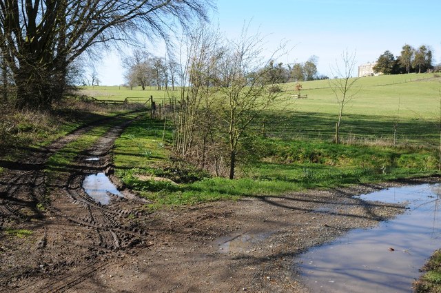
Image: © Philip Halling Taken: 5 Apr 2018
The house just visible on the rising ground to the right was built in the late 18th century and is Grade II* listed. From 1810 to 1814 this was the home of Lucien Bonaparte, Napoleon Bonaparte's younger brother. Later it was also the home of explorer Sir Samuel White Baker, his father Samuel Baker Sr. owned Thorngrove, he was a sugar merchant, banker and ship owner.
Images are licensed for reuse under creativecommons.org/licenses/by-sa/2.0
Image Location
Latitude
52.239433
Longitude
-2.259453