Tornagrain New Town
Introduction
The photograph on this page of Tornagrain New Town by valenta as part of the Geograph project.
The Geograph project started in 2005 with the aim of publishing, organising and preserving representative images for every square kilometre of Great Britain, Ireland and the Isle of Man.

There are currently over 7.5m images from over 14,400 individuals and you can help contribute to the project by visiting https://www.geograph.org.uk
Tornagrain New Town
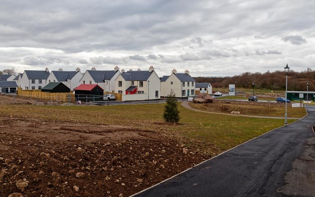
Image: © valenta Taken: 30 Mar 2018
Open area on the new town development at Tornagrain. The current show house is the one above the fir tree in the centre right of the picture. The new development is planned to eventually grow to support 12000 residents as an overspill town to Inverness. http://www.tornagrain.com/
Images are licensed for reuse under creativecommons.org/licenses/by-sa/2.0
Image Location
Latitude
57.525295
Longitude
-4.037863