The Green, Datchet
Introduction
The photograph on this page of The Green, Datchet by Derek Harper as part of the Geograph project.
The Geograph project started in 2005 with the aim of publishing, organising and preserving representative images for every square kilometre of Great Britain, Ireland and the Isle of Man.

There are currently over 7.5m images from over 14,400 individuals and you can help contribute to the project by visiting https://www.geograph.org.uk
The Green, Datchet
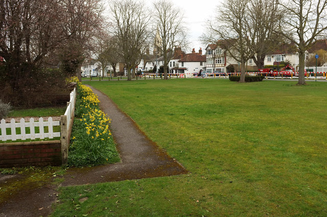
Image: © Derek Harper Taken: 1 Apr 2018
The southeast corner of the green, which crosses into Image after some 40 metres. In the central distance is the spire of St Mary's Church https://www.historicengland.org.uk/listing/the-list/list-entry/1319357 .
Images are licensed for reuse under creativecommons.org/licenses/by-sa/2.0
Image Location
Latitude
51.48313
Longitude
-0.57654