High Street, Stotfold
Introduction
The photograph on this page of High Street, Stotfold by Humphrey Bolton as part of the Geograph project.
The Geograph project started in 2005 with the aim of publishing, organising and preserving representative images for every square kilometre of Great Britain, Ireland and the Isle of Man.

There are currently over 7.5m images from over 14,400 individuals and you can help contribute to the project by visiting https://www.geograph.org.uk
High Street, Stotfold
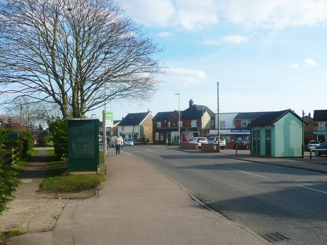
Image: © Humphrey Bolton Taken: 21 Mar 2018
I suppose this could be said to be the town centre, with bus shelter, shops and public conveniences.
Images are licensed for reuse under creativecommons.org/licenses/by-sa/2.0
Image Location
Latitude
52.014239
Longitude
-0.229252