Spread Eagle
Introduction
The photograph on this page of Spread Eagle by Dave Dunford as part of the Geograph project.
The Geograph project started in 2005 with the aim of publishing, organising and preserving representative images for every square kilometre of Great Britain, Ireland and the Isle of Man.

There are currently over 7.5m images from over 14,400 individuals and you can help contribute to the project by visiting https://www.geograph.org.uk
Spread Eagle
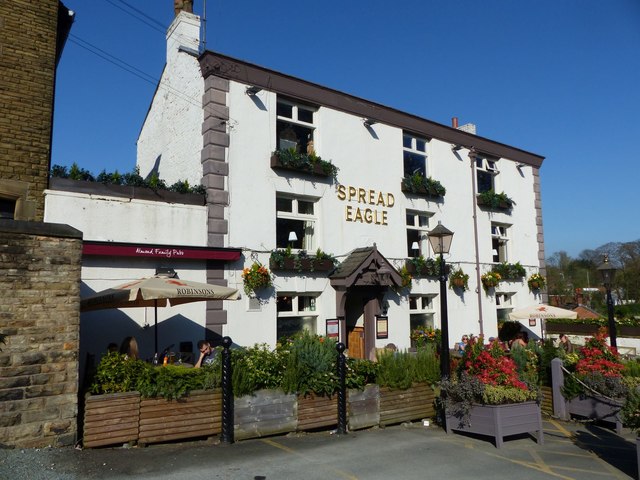
Image: © Dave Dunford Taken: 8 Apr 2017
Grade II listed pub near the church in Hatherlow. [https://www.historicengland.org.uk/listing/the-list/list-entry/1242585]
Images are licensed for reuse under creativecommons.org/licenses/by-sa/2.0
Image Location
Latitude
53.411
Longitude
-2.0997