Start of the 20 zone, Common Approach, Beddau
Introduction
The photograph on this page of Start of the 20 zone, Common Approach, Beddau by Jaggery as part of the Geograph project.
The Geograph project started in 2005 with the aim of publishing, organising and preserving representative images for every square kilometre of Great Britain, Ireland and the Isle of Man.

There are currently over 7.5m images from over 14,400 individuals and you can help contribute to the project by visiting https://www.geograph.org.uk
Start of the 20 zone, Common Approach, Beddau
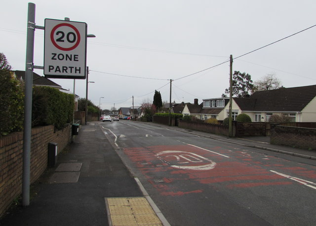
Image: © Jaggery Taken: 30 Mar 2018
The 30mph speed limit on Common Approach drops to 20mph near a speed bump. Pointing this way, a nearby sign https://www.geograph.org.uk/photo/5722400 shows half a mile to Gwaunmiskin, 3 miles to Talbot Green. Viewed from the corner of Tynant Road.
Images are licensed for reuse under creativecommons.org/licenses/by-sa/2.0
Image Location
Latitude
51.555592
Longitude
-3.355809