Confluence of Crowhole and Dunston Brook, nr Common Side
Introduction
The photograph on this page of Confluence of Crowhole and Dunston Brook, nr Common Side by Dave Dunford as part of the Geograph project.
The Geograph project started in 2005 with the aim of publishing, organising and preserving representative images for every square kilometre of Great Britain, Ireland and the Isle of Man.

There are currently over 7.5m images from over 14,400 individuals and you can help contribute to the project by visiting https://www.geograph.org.uk
Confluence of Crowhole and Dunston Brook, nr Common Side
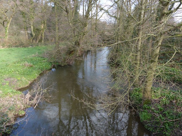
Image: © Dave Dunford Taken: 23 Mar 2017
The stream supplies water to a series of fishing lakes just downstream. Crowhole Brook joins from the right.
Images are licensed for reuse under creativecommons.org/licenses/by-sa/2.0
Image Location
Latitude
53.27722
Longitude
-1.496972