Towards Bromakin Grange
Introduction
The photograph on this page of Towards Bromakin Grange by Gordon Hatton as part of the Geograph project.
The Geograph project started in 2005 with the aim of publishing, organising and preserving representative images for every square kilometre of Great Britain, Ireland and the Isle of Man.

There are currently over 7.5m images from over 14,400 individuals and you can help contribute to the project by visiting https://www.geograph.org.uk
Towards Bromakin Grange
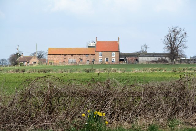
Image: © Gordon Hatton Taken: 30 Mar 2018
A view towards the farm of Bromakin Grange which is in the NE corner of the grid square. Odd that the OS map shows another farm with the same name in the same square.
Images are licensed for reuse under creativecommons.org/licenses/by-sa/2.0
Image Location
Latitude
54.282693
Longitude
-1.559916