Wighill Park
Introduction
The photograph on this page of Wighill Park by vad falcone as part of the Geograph project.
The Geograph project started in 2005 with the aim of publishing, organising and preserving representative images for every square kilometre of Great Britain, Ireland and the Isle of Man.

There are currently over 7.5m images from over 14,400 individuals and you can help contribute to the project by visiting https://www.geograph.org.uk
Wighill Park
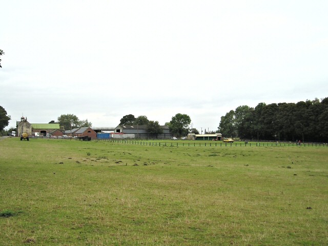
Image: © vad falcone Taken: 29 Sep 2007
Here is a farm, an agricultural goods business, an air rifle club, a fair sized pond at the back, and a cricket ground on the foreground-left. The area is known as Wighill Park, which sounds a bit grand for a farm but I could not find out anything about its history.
Images are licensed for reuse under creativecommons.org/licenses/by-sa/2.0
Image Location
Latitude
53.933679
Longitude
-1.291108