Bandstand, Haugh Park, Cupar
Introduction
The photograph on this page of Bandstand, Haugh Park, Cupar by G Laird as part of the Geograph project.
The Geograph project started in 2005 with the aim of publishing, organising and preserving representative images for every square kilometre of Great Britain, Ireland and the Isle of Man.

There are currently over 7.5m images from over 14,400 individuals and you can help contribute to the project by visiting https://www.geograph.org.uk
Bandstand, Haugh Park, Cupar
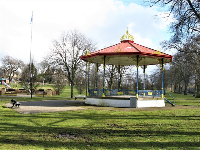
Image: © G Laird Taken: 29 Mar 2018
Dating from c.1900, the bandstand is cast-iron, octagonal in shape and a Category B listed building. https://www.britishlistedbuildings.co.uk/200360179-bandstand-hood-park-cupar#.Wr4xmzGWytU
Images are licensed for reuse under creativecommons.org/licenses/by-sa/2.0
Image Location
Latitude
56.319418
Longitude
-3.008012