Looking toward Screddington
Introduction
The photograph on this page of Looking toward Screddington by Bob Harvey as part of the Geograph project.
The Geograph project started in 2005 with the aim of publishing, organising and preserving representative images for every square kilometre of Great Britain, Ireland and the Isle of Man.

There are currently over 7.5m images from over 14,400 individuals and you can help contribute to the project by visiting https://www.geograph.org.uk
Looking toward Screddington
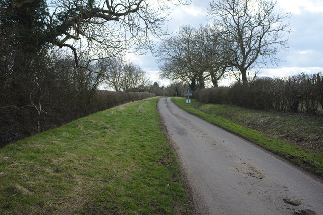
Image: © Bob Harvey Taken: 25 Mar 2018
A wide-verged straight road is often supposed to be a Roman road, and this is often true: look at Image in Ancaster. Maybe this is why the ancient bridge in Northbeck was once called "The Roman Bridge". But roads like this are not unknown in native Britain, without Roman influence, or dating merely from the era of the Enclosures: look at Image which is an enclosure road. This one nearly aligns with the bridge, but not quite: and the county archaeologist describes a causeway associated with the bridge buried in the fields and verge a little to the west and on a sightly different alignment. The Bridge, whatever its date, is Medieval, so let's call this an enclosure road, or perhaps the enclosure version of an older one.
Images are licensed for reuse under creativecommons.org/licenses/by-sa/2.0
Image Location
Latitude
52.953105
Longitude
-0.368881